Minister of Water Resources and Irrigation Hani Sweilem said on Monday that Egypt suffers from water poverty, and its water needs amount to about 114 billion cubic meters annually while its water resources are estimated at about 59.6 billion cubic meters annually.
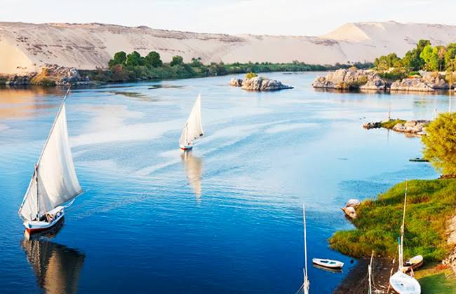
He explained that these resources are distributed at 55.5 billion cubic meters for Egypt’s share of the Nile River water, 30.1 billion cubic meters of rainwater, 2.4 billion cubic meters of non-renewable deep groundwater, and 400 million cubic meters of seawater desalination, with 21.6 billion cubic cubic meters of water reused annually.
During the annual meeting of the Board of Trustees of the American University in Cairo, Sweilem stated that Egypt imports agricultural crops from abroad to meet water consumption of about 33 billion cubic meters.
According to the minister, the per capita share of water declined from 2,000 cubic meters per year in the 1960s, declining below the water poverty line of less than 1,000 meters in the 1990s, until falling to 500 cubic meters per year at present.
National Water Resources Plan
This has prompted Egypt to develop the National Water Resources Plan for 2037, he said, which is currently being updated to extend its time frame to 2050.
He added that these challenges prompted Egypt to develop the second generation system for the irrigation system, which depends on eight main dimensions represented in the water treatment and desalination for intensive food production.
Sweilem explained that the state has expanded the reuse and treatment of agricultural drainage water by implementing three major projects in the New Delta, Bahr al-Baqar and al-Mahsama, to reuse agricultural drainage water with a capacity of up to 4.8 billion cubic meters annually.
Digital transformation
The minister added that digital transformation aims to fill the shortage in some human resources in the ministry, achieve transparency, combat corruption and provide data to decision-makers.
He explained that the digital transformation includes digitizing data on canals, drains and water facilities, preparing databases for monitoring canals and drains, creating applications that farmers can use to identify shift times, and using drone photography to monitor waterways and crop composition.


